1946 Spokane Traffic Survey mentions the feasibility of a north-south freeway route.
1951 Spokane Urban Highway Capacity Survey shows that traffic could support such a freeway.
1955 A preliminary "reconnaissance" report surveys potential routes.
1956 First plans of the $13 million north-south freeway unveiled, with the route heading up the Hamilton-Nevada corridor. The Federal Aid Highway Act is also passed, which creates the Interstate Highway System, where the federal government covers 90 percent of construction cost.
1958 State Highway Commission chooses Interstate 90 alignment, including a planned interchange at Liberty Park with the north-south freeway. State Rep. Margaret Hurley, a Spokane Democrat, says I-90 will "ruin our beautiful city."
1961 Construction of I-90 begins.
1969 Margaret Leonard, the first woman elected to the Spokane City Council, vows to stop the north-south freeway. She is later credited with leading opposition to the project, along with Hurley — the "two Margarets" as they were called by the state highway department.
1970 The state highway department releases the Spokane Metropolitan Area Transportation Study, along with a map showing the Hamilton route of the freeway, where more than 600 homes must be demolished — along with parks, schools and churches — to make way for the freeway.
1971 In response to the planned route, Rep. Hurley calls highway planners "devious, domineering and arrogant" from the House floor, and says they are "rooting up whole communities and covering them with concrete and asphalt."
1974 The interchange at Liberty Lake is built to connect I-90 and the north-south freeway. Hurley successfully shepherds to passage a law requiring environmental review of the project, effectively killing the project as it was planned. The state deletes funding for it from its budget. The interchange is reformed to connect I-90 to SR 290, which crosses the river on Hamilton and then heads east-west on Trent Avenue.
1985 The Spokane Regional Council identifies the lack of a north-south freeway as a major problem and asks WSDOT to investigate.
1991 WSDOT estimates that a north-south route — farther east than originally planned, but in its current alignment — is doable, at an estimated cost of $650 million.
1997 A Final Environmental Impact Statement for the highway is completed by the Federal Highway Commission.
1999 The state Legislature approves $3.9 million for design work and $19 million for purchasing right-of-way.
2001 Official groundbreaking for the freeway's first section, between Hawthorne and Farwell roads.
2003 State lawmakers approve a 5 cents-per-gallon gas tax increase, generating $189 million for the freeway.
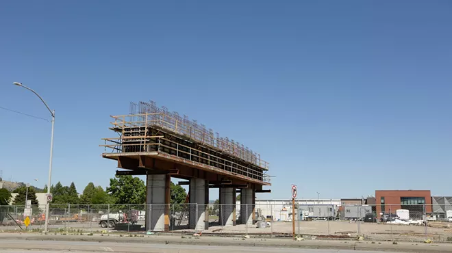
2012 The first half of what is now called the North Spokane Corridor opens to traffic, with 5.5 miles of roadway.
2015 The final piece of funding comes when state legislators approve $879 million for the project as part of a larger transportation spending bill, putting the final price tag at $1.5 billion for 11 miles of road, and the demolition of more than 600 homes.
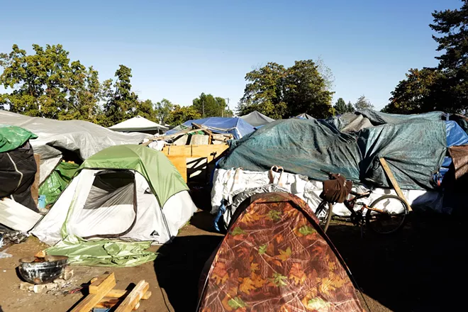
2022 Camp Hope, a homeless encampment, is established on the site of the planned interchange between I-90 and the north-south freeway, where homes had been demolished to make way for construction.
2029 Anticipated completion date — 83 years after it was first envisioned. ♦

