Take a hike. No, really, we mean it. You can finish reading the paper first, but afterwards you've got to pack up and find the adventures awaiting on trails across the Inland Northwest.
You don't have to go in blind though — we've compiled a handful of the coolest hikes around the region. We've also organized them by their difficulty, so you can find an outing that aligns with your experience level.
If you've completed these hikes before or are just looking for different options, we suggest using the Washington Trails Association's innovative "Hike Finder Map" at wta.org/go-outside/map. Here you can peruse all the region's hikes in a more targeted way, as the tool allows you to enter parameters such as mileage, elevation gain and other trail features.
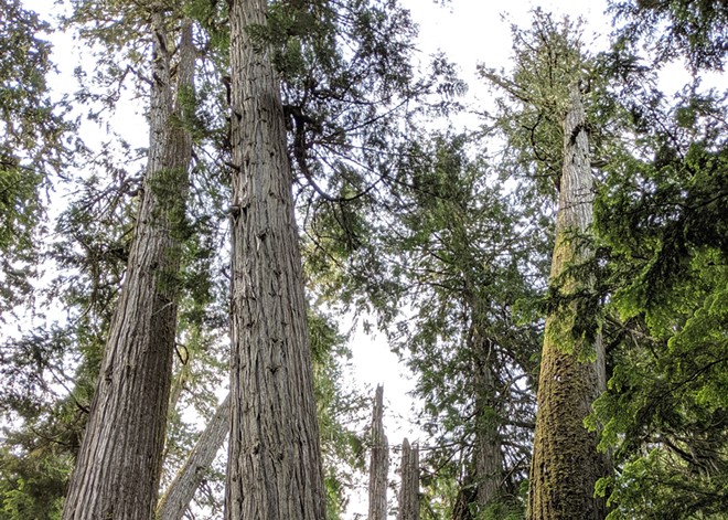
ROOSEVELT GROVE OF ANCIENT CEDARS
Right along Washington's side of its North Idaho border sits an impressive grove of old-growth cedars, some of which are believed to have lived for thousands of years. Split between a lower and upper portion, the Roosevelt Grove of Ancient Cedars hiking trail winds beneath towering trees, offering a leisurely day trip. If you're a parent looking for a hike that's easy enough for your children and scenic enough to hold their interest throughout, this hike is a promising choice.Tip: Bring a hearty lunch for the whole family and a cute checkered blanket. The area includes four different public-use picnic sites.
Length: 2.5 miles, round trip
Elevation gain: 300 feet
Highest Point: 3,600 feet
Difficulty: Easy
Distance from Spokane: 103 miles
Distance from Coeur d'Alene: 94 miles
SNAKE RIVER TRAIL
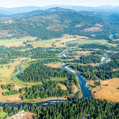
The Palouse is known for its miles of rolling hills and agricultural land, but the region holds another gem: the Snake River. And tucked along the river's winding path is the Snake River Trail that passes through Boyer Park and Marina. While the trail itself is a bit unassuming compared to other hikes on this list, it's the gorgeous scenery that makes it worth it. Plus, the path is paved, making it an accessible option for those who use a wheelchair, according to the Washington Trails Association.Tip: Pack some strong sunscreen and apply it liberally. Most of the trail isn't shaded, so you'll need to protect your skin.
Length: 4 miles of trails
Elevation gain: 30 feet
Highest Point: 680 feet
Difficulty: Easy
Distance from Spokane: 80 miles
Distance from Coeur d'Alene: 112 miles
ANTOINE PEAK CONSERVATION AREA — SUMMIT LOOP
The Summit Loop hiking trail atop the Antoine Peak Conservation Area in north Spokane Valley is a great hike for those who want to stay close to home and are looking for an intermediate experience. While it includes about 600 feet of uphill trails, it mainly maintains an elevation of about 3,000 feet. Plus, this hike has killer views of the surrounding area, such as Spokane Valley, Liberty Lake, Mount Spokane and Pleasant Prairie.Tip: Make sure you bring plenty of water. Seasonal springs on Antoine Peak dry up early in the season, according to the Washington Trails Association.
Trail length: 5.5 miles, round trip
Elevation gain: 300 feet
Highest Point: about 3,000 feet
Difficulty: Moderate
Distance from Spokane: 16 miles
Distance from Coeur d'Alene: 26 miles
CARIBOU RIDGE
If you're looking for a challenging hike but don't want to commit to a multiday excursion, Caribou Ridge just southeast of Coeur d'Alene is going to be a safe bet. With a bunch of switchbacks, an almost-entirely forested trail and over 2,000 feet in elevation gain, even intermediate hikers may struggle a bit here. It's all worth it though because of the breathtaking view of the Coeur d'Alene National Forest from atop the summit. A Northwest Forest Pass is needed for this hike.Tip: Bring a map of the area. While Caribou Ridge is a one-way trail, it can be turned into a loop thanks to a couple other trails in the area.
Trail length: 4.6 miles, one-way
Elevation gain: 2,200 feet
Highest Point: 4,400 feet
Difficulty: Moderate/Hard
Distance from Spokane: 45 miles
Distance from Coeur d'Alene: 11 miles
SHEDROOF DIVIDE
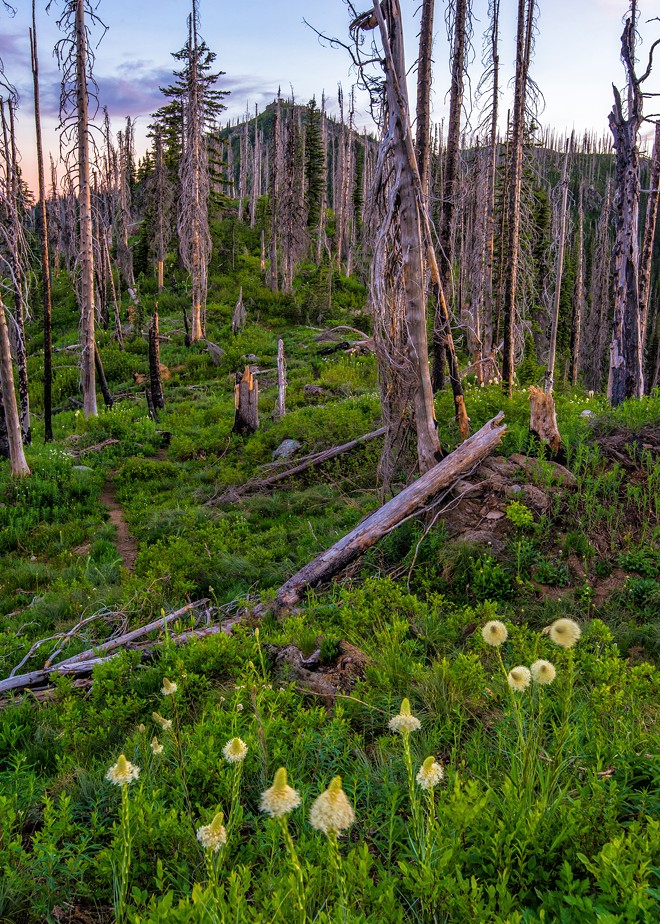
While Shedroof Divide in the Selkirk Mountains' Salmo-Priest Wilderness area may be the most challenging hike on this list, it ultimately boasts some of the best views across the Inland Northwest. Between the trail's established campsites lending itself to an extended backpacking trip and its collection of trail connections allowing multiple day-trip opportunities, Shedroof Divide can be as flexible as it needs to be.Tip: Travel with a buddy. While all of these hikes could be enhanced by companionship, a backpacking trip is almost always made safer with a buddy.
Trail length: 22.8 miles, one-way
Elevation gain: 5,300 feet
Highest Point: 6,600 feet
Difficulty: Hard
Distance from Spokane: 109 miles
Distance from Coeur d'Alene: 103 miles ♦

